
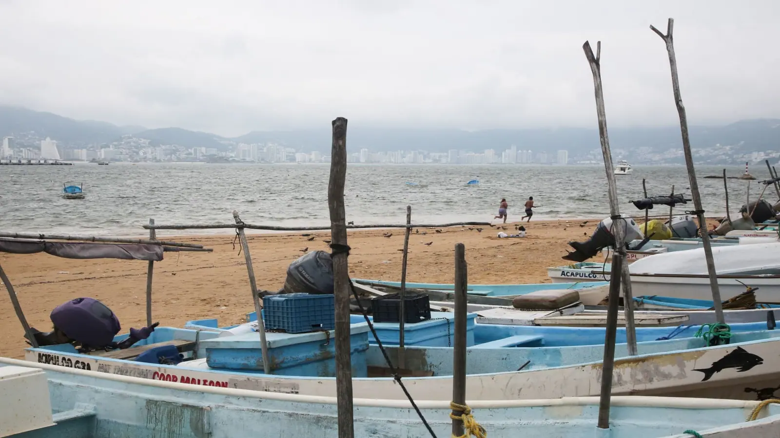
Hurricane Trudy moved toward the southwestern and west-central areas of Mexico's Pacific coast and could keep growing through Saturday, forecasters said.
Trudy's center will approach the coast on Saturday and pass near it into Sunday. A hurricane warning was in effect from Manzanillo, Colima, to Cabo Corrientes, Jalisco.
The storm was a Category 1 hurricane with maximum sustained winds of 90 mph (150 kph) on Friday night.
Trudy was about 240 miles (385 kilometers) west-southwest of Acapulco, in the Mexican state of Guerrero, and about 215 miles (345 kilometers) south-southeast of Manzanillo, Colima state, while moving northwest at 8 mph (13 kph), the U.S. National Hurricane Center said.
The Mexican navy urged the maritime community and coastal residents to exercise extreme caution due to high waves, heavy rains and the risk of rising river levels, flooding and landslides in vulnerable areas.
The state of Colima said risks are currently low, but the storm could bring significant rainfall that could cause damage because the ground is saturated after successive storms have hit the Pacific coast.
Through the weekend, Trudy is expected to produce 4 to 8 inches (10 to 20 cm) of rain, with isolated higher totals around 15 inches.
Also in the Pacific, Typhoon Champi was intensifying and moving west toward Guam at 15 mph (23 kph), with maximum sustained winds increasing to 100 mph (160 kph), according to the U.S. Weather Service and the U.S. Navy's Meteorology and Oceanography Command website.
A typhoon warning was issued for Guam and Rota, along with a tropical storm warning for Tinian, Saipan, and nearby areas.
Choose CNBC as your preferred source on Google and never miss a moment from the most trusted name in business news.